JoinAddress Web - the Online Geocoder
Geocoding Worldwide, Modern and Simple


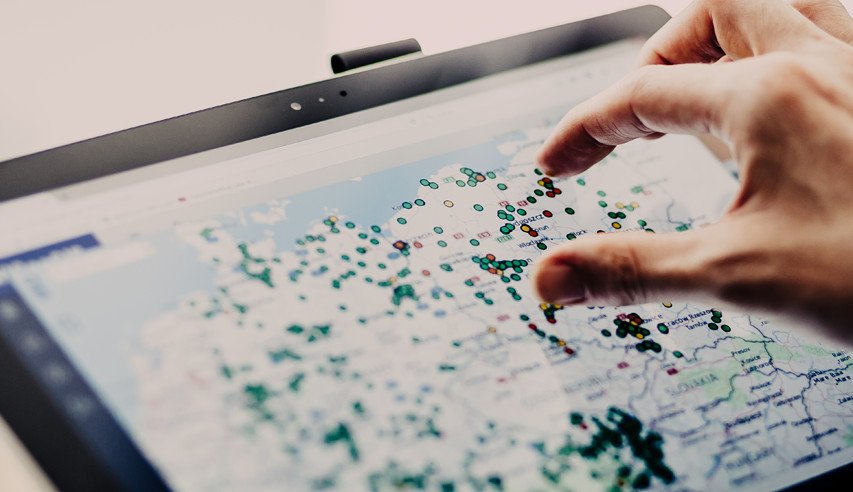
You geocode your data, for example from an Excel list, directly in your web browser. In just five easy steps, you can see all your addresses on a map. You can then check the geocoding results, edit the data manually and download it as an Excel or text file. The tool is designed for users who want to enhance a list of addresses with coordinates in a few easy steps.
All without installing any software or needing expert knowledge. Simply register, upload your address list and geocode.
TEST JOINADDRESS WEB NOW!
With the online geocoder you can geocode directly in your web browser. No need to install any software. Register and geocode 400 addresses for free!
With JoinAddress Web you can geocode your addresses worldwide in the best possible quality.
Upload and download your address data as an .xls list or txt file.

Choose one of the following volumes:
| Addresses | Price in € |
|---|---|
| 1,000 Addresses | 165 |
| 5,000 Addresses | 660 |
| 10,000 Addresses | 1,089 |
| 25,000 Addresses | 1,419 |
| 50,000 Addresses | 2,079 |
| 100,000 Addresses | 3,179 |
| 200,000 Addresses | 3,729 |
| 500,000 Addresses | 7,029 |
The above prices are net prices. Customers and businesses in Austria must pay 20% VAT. Companies from EU countries who provide their UID number do not have to pay any VAT. Private customers from EU countries must pay the applicable VAT for their country of origin. Businesses and private customers outside the EU do not have to pay any VAT.
Geocoding enhances data with geographic coordinates. In other words, the data is assigned XY coordinates. Intelligent software searches a reference database for the appropriate coordinates for your addresses. The process also takes country and language-specific characteristics into consideration. Geocoding allows you to display your addresses on a map as points or as geometric shapes for an entire area. Thus, geocoding is the basis for geomarketing.

JoinAddress Web is a product from WIGeoGIS. WIGeoGIS is a provider and expert for geocoding, geomarketing and WebGIS / mapping software. For over 20 years, WIGeoGIS has been providing geomarketing analyses as a service and developing GIS/mapping software for international companies to analyze large amounts of data in a spatial context and visualize the results on a map.
To learn more about WIGeoGIS please visit www.wigeogis.com.
JoinAddress Web focuses exclusively on geocoding and displaying addresses as points. If for example, you wish to calculate and display sales territories, catchment areas or potential areas on a map, you need geomarketing, GIS or mapping software.
WIGeoGIS, the provider of JoinAddress Web, also offers three different software solutions for just such cases:

Do you have any questions about JoinAddress Web? Simply contact us
1. Incomplete address
The JoinAddress Web geocoder can only geocode the information that it is given. This means for example that if you upload an address with a city and street name but no specific house number, JoinAddress Web will geocode at the street level. The same is true for ZIP code or city level geocoding when your address only contains the ZIP code or city name but no street name or house number. It is not possible for the geocoder to know this missing information. However, in order to display the address data on the map, the geocoder will always use the center of the city or road.
2. Misspelled address
The address can also not be accurately located if it is not entered correctly or it is misspelled. A common mistake for example is reversing a letter or number. Please check the geocoding results in JoinAddress Web to make sure the addresses are spelled correctly. You can find instructions on how to check the geocoding quality and edit addresses manually in the Help section. Simply log in for access to all the information in the Help section. You will then have access to the JoinAddress manual and video tutorials.